Showing What the Ground Can’t
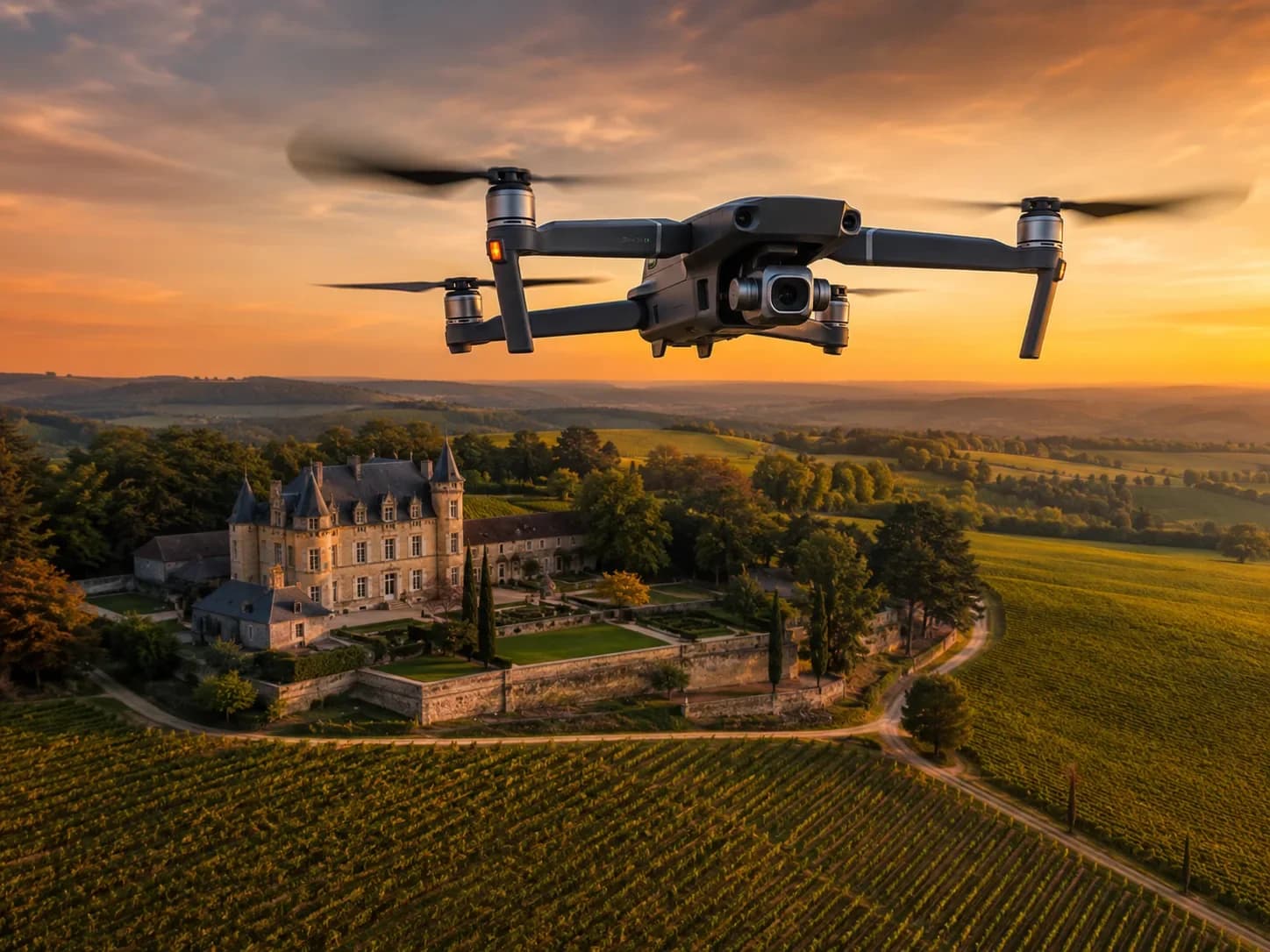
A photo taken from the street says nothing about the plot, the immediate neighbourhood or the real exposure. The drone offers an aerial reading that places the property back in its environment: proximity to green spaces, road access, orientation, open space and overlooking views become instantly understandable.
For residential and commercial real estate alike, this contextualisation reassures and qualifies. A buyer or investor grasps a location’s siting and potential in seconds, which reduces pointless visits and focuses interest on genuinely relevant prospects.
- Reading of the plot and immediate neighbourhood
- Access, orientation and open space made visible
- Highlighting green spaces and points of interest
- Faster qualification of prospects
A Decisive Asset for New Developments
On a project under construction or off-plan, the drone documents the worksite’s progress and projects the future living environment. It stages the buildings’ siting, the common areas and the connection to the neighbourhood, where 3D visuals remain abstract for many buyers.
These images boost marketing from the earliest phases: sales office, dedicated site, brochures and social media. They also serve as progress tracking for buyers and institutional communication for the developer throughout the project’s life.
- Visual tracking of worksite progress
- Projection of the future living environment and common areas
- Asset for sales office and dedicated site
- Institutional communication for the developer
Regulatory Framework and Image Quality
Drone flight is regulated: zone-dependent authorisations, respect for airspace and privacy, declared remote pilots. HD Media handles these steps and plans shoots according to weather and light to guarantee a professional, compliant result.
Beyond the aerial shot, the deliverable combines high-definition photos, video sequences and dynamic shots. Paired with ground-level HDR photography and a virtual tour, the drone completes a coherent real estate package, from the sky down to the interior of the rooms.
- Authorisations and respect for airspace zones
- Planning according to weather and light
- HD photos, video and dynamic shots
- Complementary with ground HDR and virtual tours
Going further
April 9, 2026
Related articles

How to prepare your venue for a successful 360° virtual tour shoot
Tidying, lighting, staging: the practical guide to making sure your 360° virtual tour truly showcases your venue.

A national network of photographers for consistent quality across France
Multi-site project? A network of trained photographers guarantees the same immersive result from one city to the next, with no logistics on you.

360° photo, virtual tour, 360° video: differences and how to choose
Three immersive formats often confused: understand their uses and strengths, and pick the one that truly serves your goal.